

Map and sensor data
Map search and device details
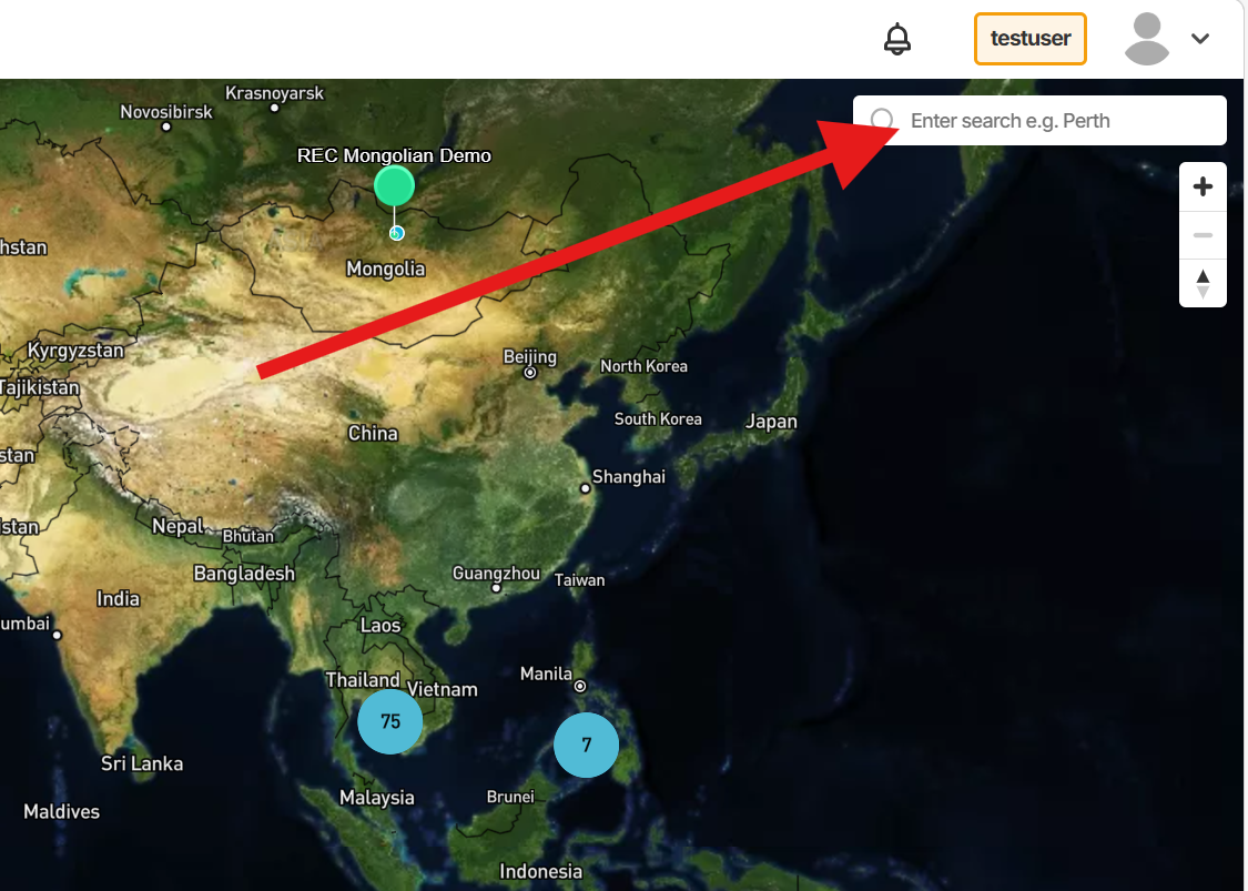
Map clusters, device search, connection markers and the device information panel.
From here, you can locate devices, check their status at a glance, and view recent sensor data without leaving the map
Getting to Map View
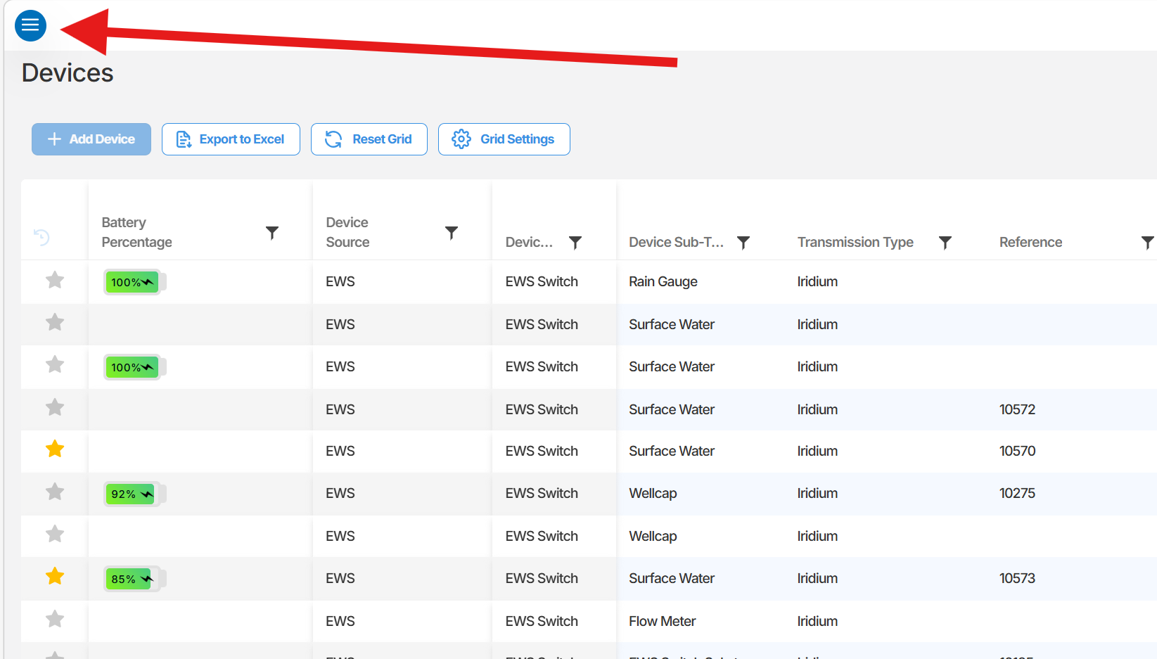
Section titled “Getting to Map View”To open the Map View, select the menu button (three horizontal lines) in the top-left corner of the screen, then select Map View from the menu. This is the first option in the list.
Understanding the map
Section titled “Understanding the map”When the Map View loads, you will see a world map displaying all devices registered to your organisation. Devices that are geographically close to one another are grouped into clusters, shown as numbered circles. The number inside the circle indicates how many devices are located in that area.
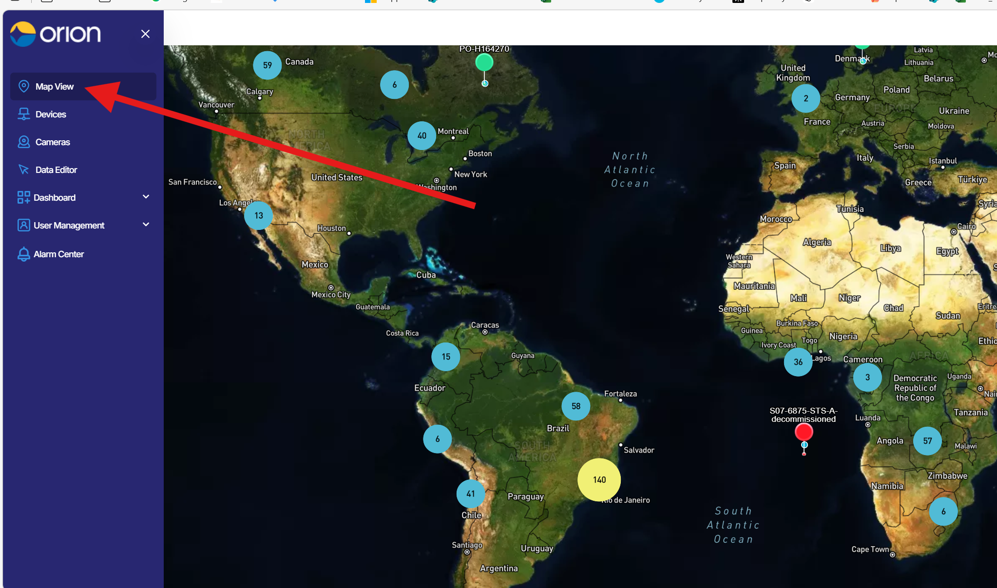
To separate a cluster and view individual devices, scroll in or manually zoom into the area. As you zoom, the cluster will gradually split and the count will reduce until individual device pins are visible.
Device status indicators
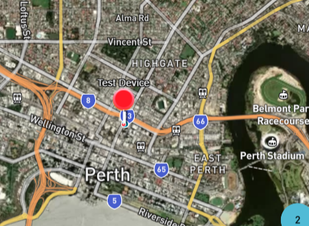
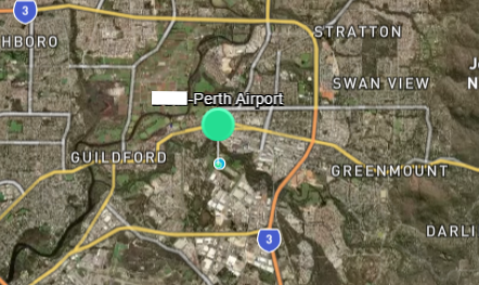
Each device pin on the map is colour-coded to indicate its current status:
- Green - The device is online.
- Red - The device is offline.
Searching for a device
Section titled “Searching for a device”If you know the name or IMEI of a device, you can use the search box to locate it directly rather than scrolling the map manually.
- Click the search box in the map interface. The field displays the placeholder text Enter search e.g. Perth.
- Type the device name or IMEI number.
- The map will pan and zoom automatically to the matching device.
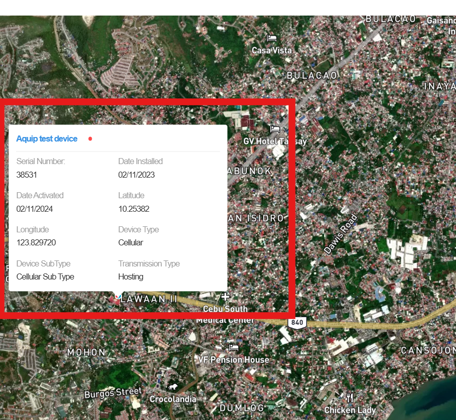
To view details for a specific device, click its pin on the map. Device will show following details
- Serial number
- Date installed
- Date activated
- Latitude
- Longitude
- Device type
- Device sub-type
- Transmission type
Viewing sensor data from the map
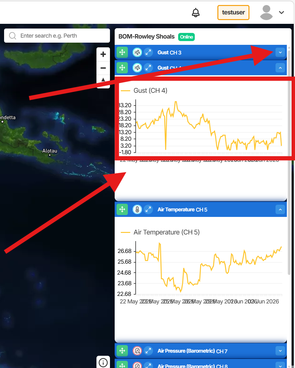
Section titled “Viewing sensor data from the map”When a device is selected, the detail panel also includes a 14-day data graph and a list of sensor channels on right side.
To expand a channel and view its data:
- Select the device pin on the map to open the detail panel.
- Locate the channel you want to review in the panel.
- Click the down arrow next to the channel name. The arrow will change to an up arrow, and the 14-day data graph for that channel will be displayed.
- Click the up arrow to collapse the channel.
Summary
The Map View gives you a real-time geographic overview of all your organisation’s devices. You can locate devices by browsing or searching, check online and offline status at a glance, and review recent sensor data directly from the map without navigating away.
Next Steps
Section titled “Next Steps”- Update device coordinates from the Devices section to ensure accurate map placement.
- Use the search function to quickly locate a specific device by name or IMEI.
- Explore the Devices section for full device configuration options.